Lake Michigan Unfurled
Great Lake, Straight LineAwarded President’s Choice & Most Unique @ WLIA 2016. Best in Category @CaGIS 2016. Selected for the 2016 Atlas of Design.
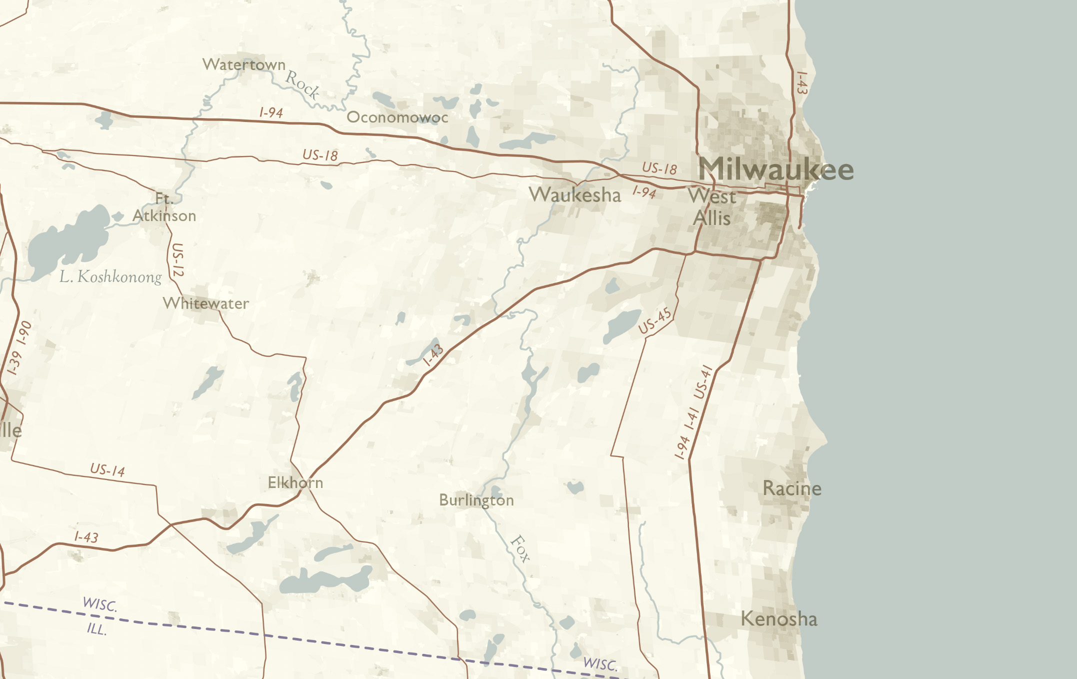
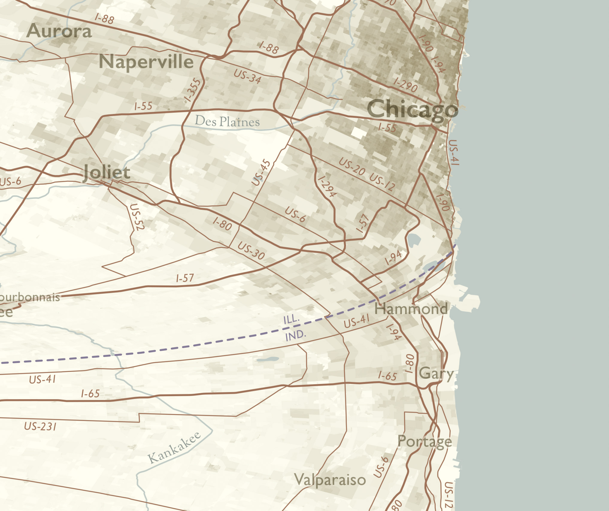
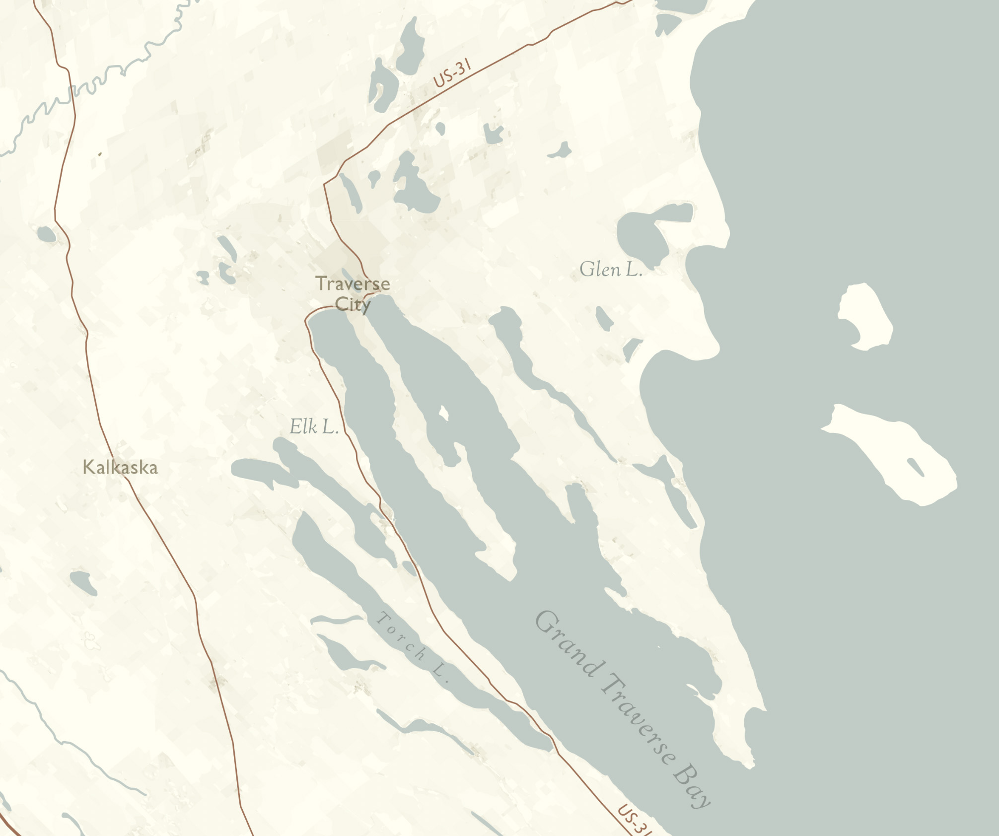
What would happen if you straightened out the shore of Lake Michigan into one long line? Or, you might think of it as cutting the lakeshore and unfurling it. However you want to imagine it, that’s what I did. This map is pretty big: 10 inches wide, and 5 feet long. Complete with detailed shading indicating population density, labels for many cities and towns, roads, and more, all done up in a classic style. Comes in two versions: one has the labels oriented for displaying the map horizontally, and one is set up for a vertical display. It’s pretty weird and awesome, and you’ll have a lot to talk about when you show it off to people.
10 × 60in
10 × 60in


