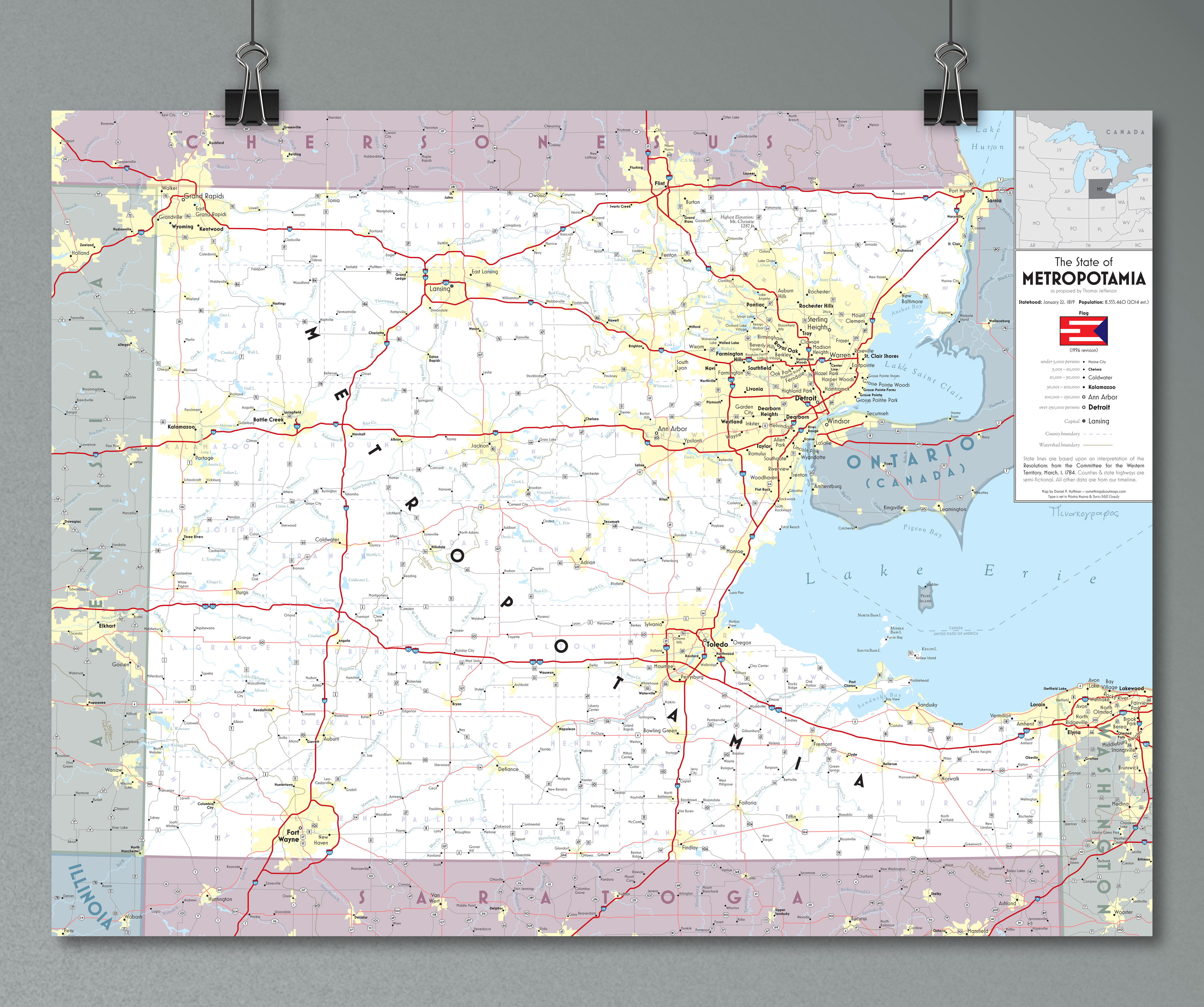
Metropotamia
October 2016Most Unique, WLIA 2017
Best in Category, CaGIS 2017 Map Awards
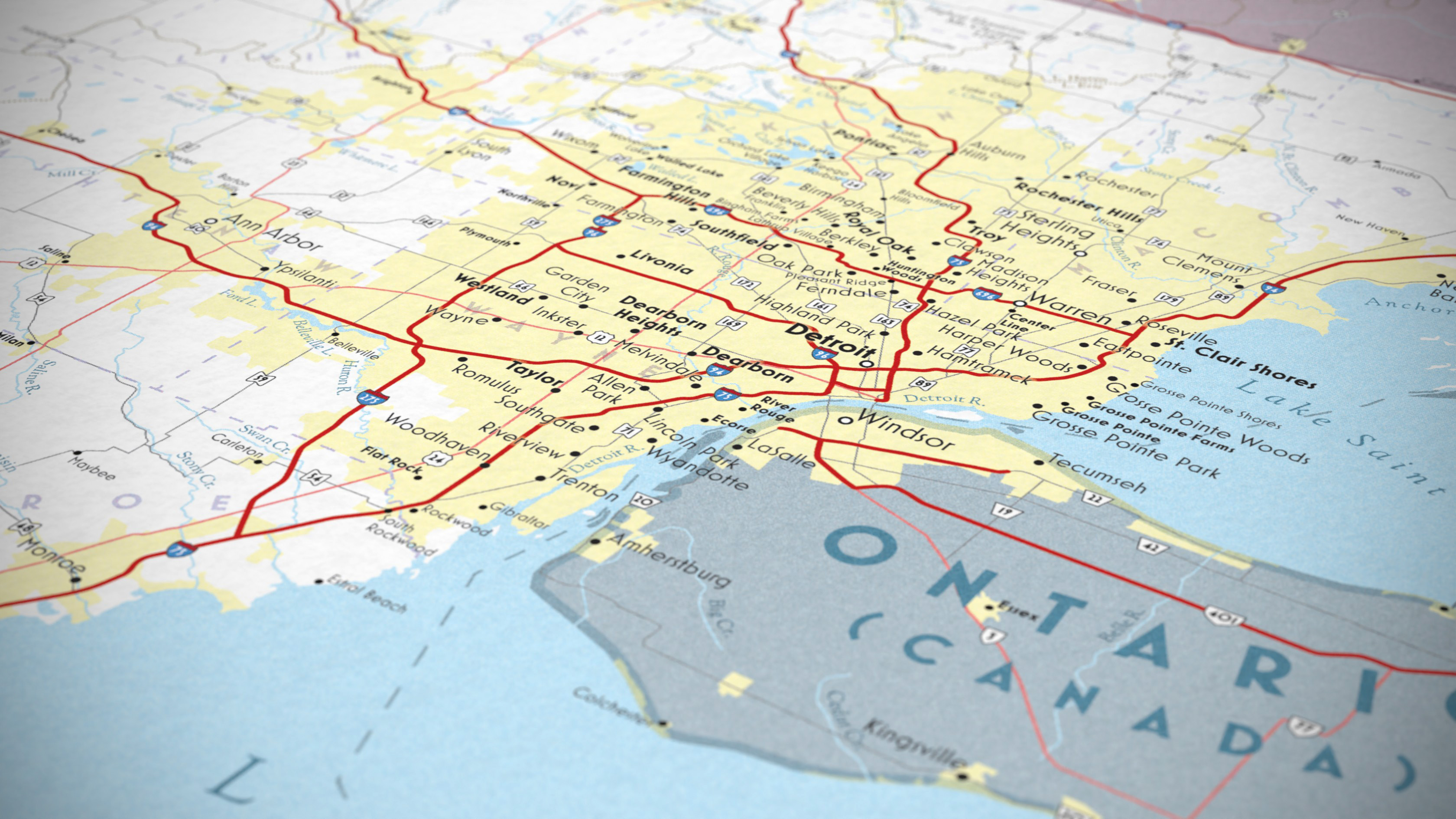
In 1784, a committee headed by Thomas Jefferson proposed dividing the Northwest Territory (as it would later be called) into a set of future states. However, these recommendations were never carried out, and instead of states like Saratoga, Sylvania, and Chersonesus, we ended up with the more familiar Michigan, Illinois, and Wisconsin. But I thought it might be fun to pretend that Jefferson's ideas had been followed, and so I decided to map his imagined state of Metropotamia.
In general, I wanted to take this opportunity to make a map of a variety I hadn't really worked with before. Something in the same zone as a page from a Rand McNally or a National Geographic atlas (though, due to time/momentum, rather less detailed than either of those exemplars). I think these inspirations are very much evident in the style.
You can read more, and download a copy, by clicking here.