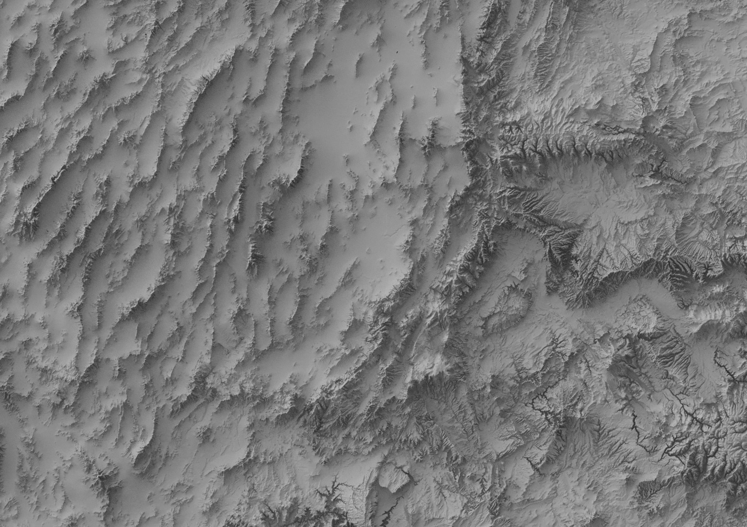
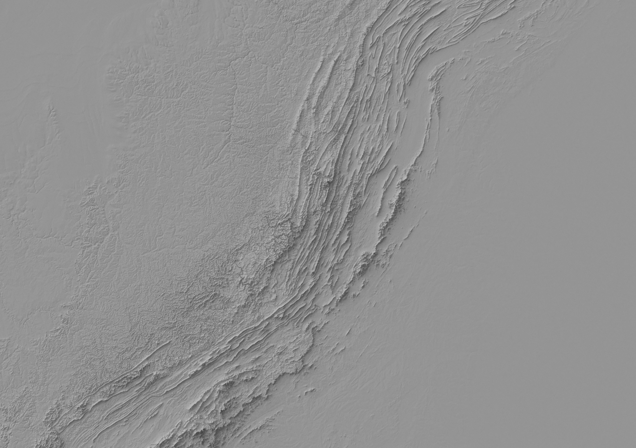
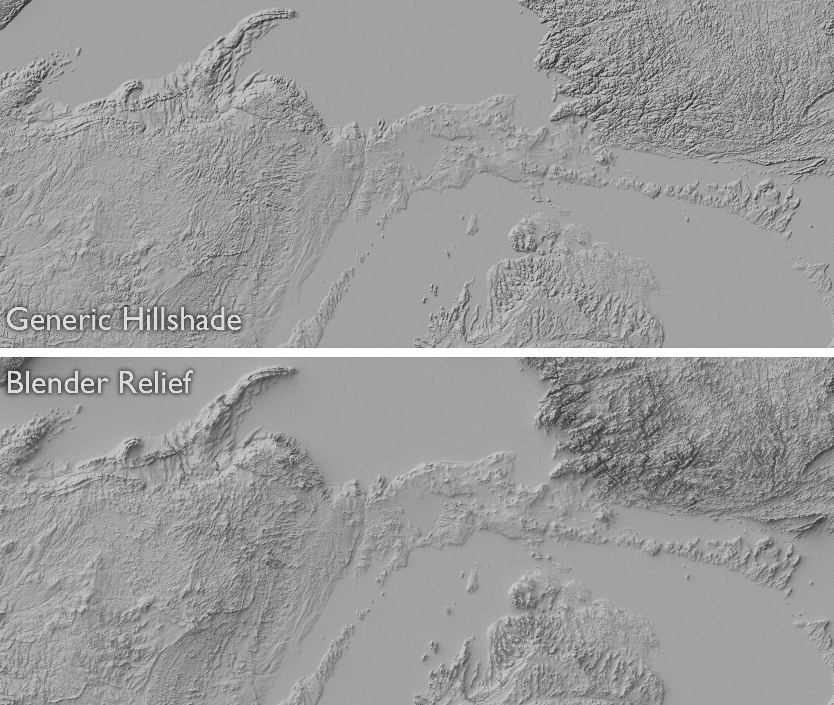
Shaded Relief in Blender
August 2013If you’re interested in trying this yourself, there’s a tutorial on my blog to get you started. Since I first started working with this technique in 2013, I’ve been pleased to see a lot of other cartographers take it up, yielding some great-looking maps.
To see a giant zoomable Blender relief of the western US/Canada, click here.