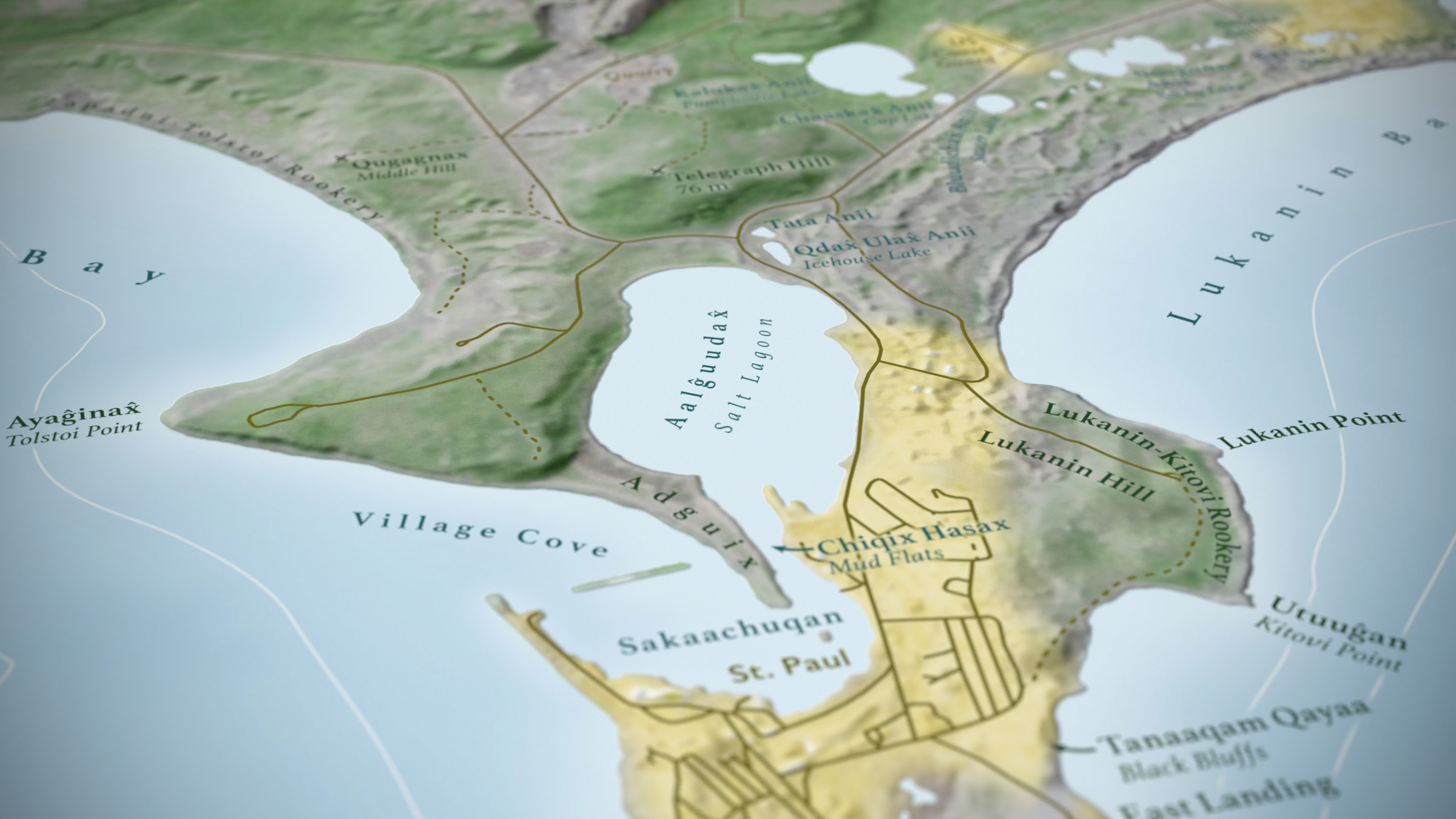
St. Paul Island
November 2019Best Private Sector Map, WLIA 2020
This is a large poster intended for the community of St. Paul, in the Bering Sea. My clients at Audubon Alaska, and their partners, worked with the Aleut community there to collect toponyms, so that we could present the island residents with a map that reflected their home as they understood it.
The label content is the real heart and value of the map, but the basemap turned out pretty nicely. It’s built from dozens of Photoshop layers, combining satellite imagery, Blender relief, and a lot of manual adjustments and retouches to correct artifacts.