The Journey
June 2018Best in Category, CaGIS 2019 Map Awards
2nd Place (Reference Map), WLIA 2019
Honorable Mention, 2019 Avenza Competition for Cartographic Design
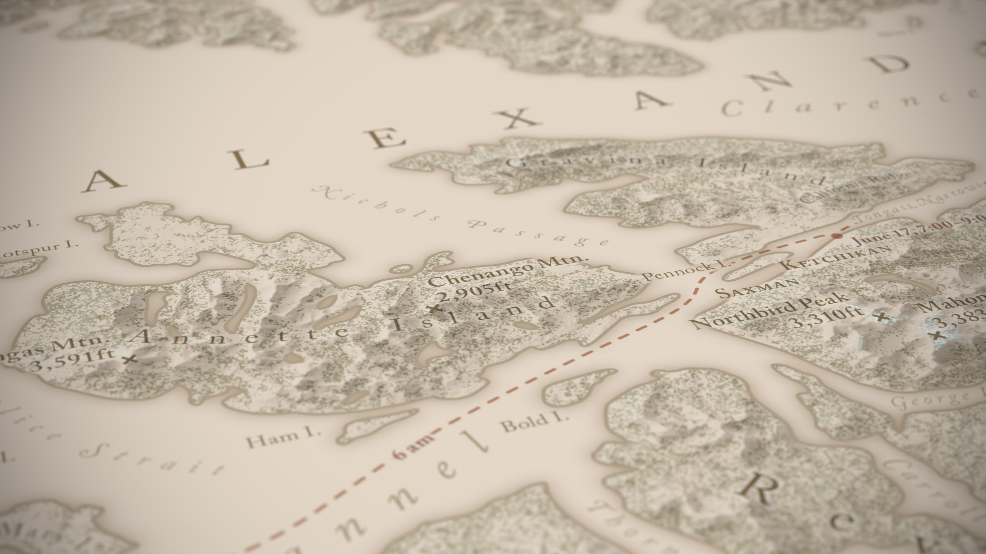
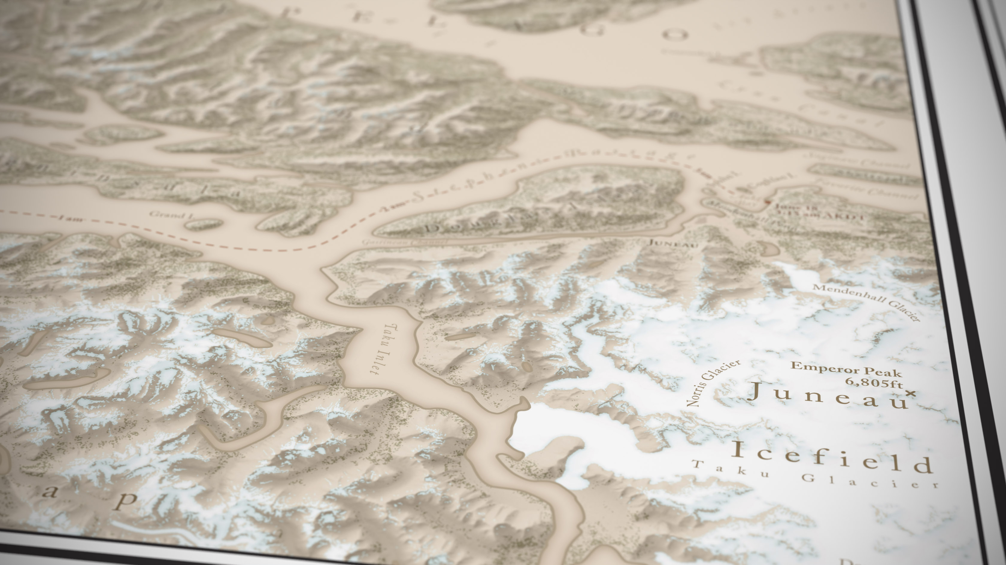
On the way to conduct a workshop in Anchorage, I took the ferry through the Inside Passage in 2018. Prior to departing, I knew I had to make a map of the area, as an exercise in starting to understand (from a top-down perspective, at least), the landscape I would be moving through. I also wanted to know what everything was called as I looked from one island or peak to the next.
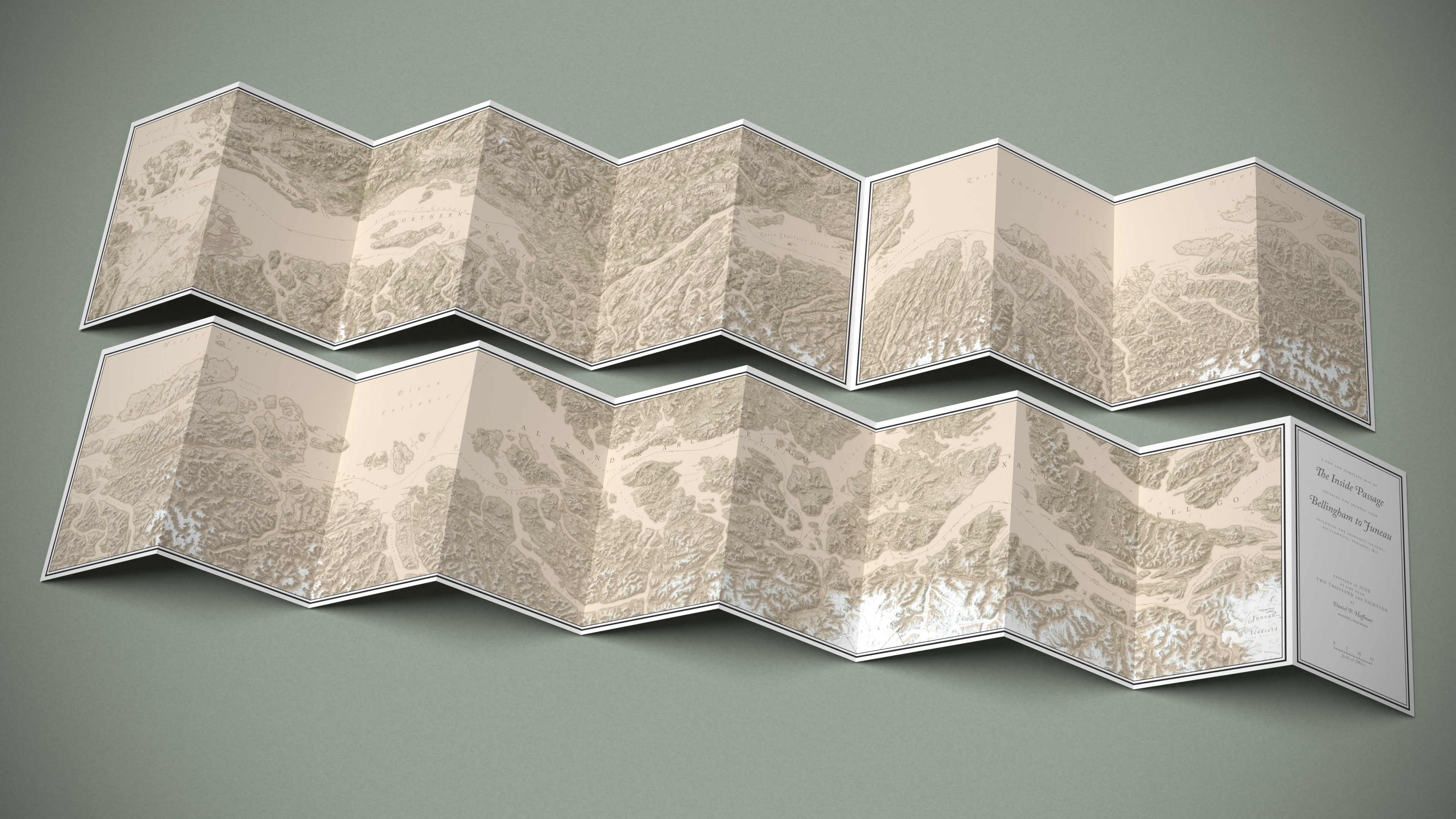
This is my first folded map, 10″ × 60″. If you're curious to know more about how it was made, I did a semi-live Twitter thread as I was going through the process.
I call it “The Journey” for short, but, as seen on the front cover, the map is properly called A New and Complete Map of the Inside Passage Covering the Journey from Bellingham to Juneau Including the Principal Islands, Settlements, Passages, &c.